Elevate Your Vision with Remote Sense Drone Imaging
Delivering precise aerial insights to transform your projects.
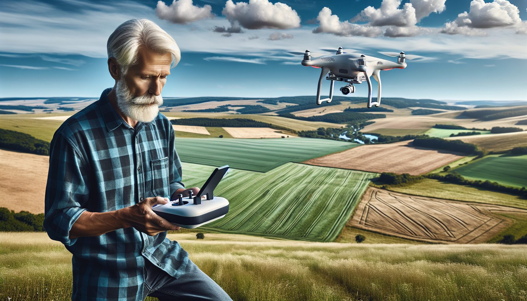
Remote Sense Drone Imaging: Precision Views from Above
Remote Sense specializes in aerial imaging, providing high-resolution maps and data solutions for construction, agriculture, and more.

Precision Geospatial Mapping
Explore our success stories in providing top-notch drone imaging solutions across various industries.
5+
Industries Served
Serving diverse sectors, we bring specialized drone imaging expertise.
200+
Projects Completed Successfully
With a track record of reliability, we’ve successfully completed over 200 projects.
1K+
Professional Partnerships
Collaborate with over 1,000 industry professionals through our network.
Elevate your insights with drone technology today!
Reach out to Remote Sense for precise drone imaging, high-quality 3D mapping, and insightful aerial data to make informed decisions and expand your business reach. Our team of experts is committed to innovation and excellence, making us your trusted partner for geospatial solutions.
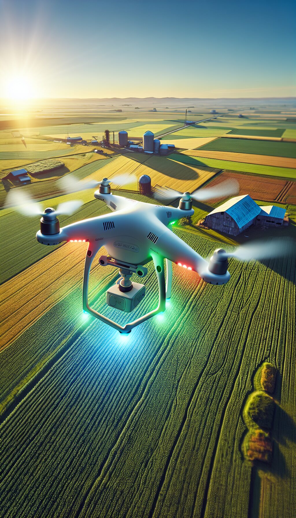
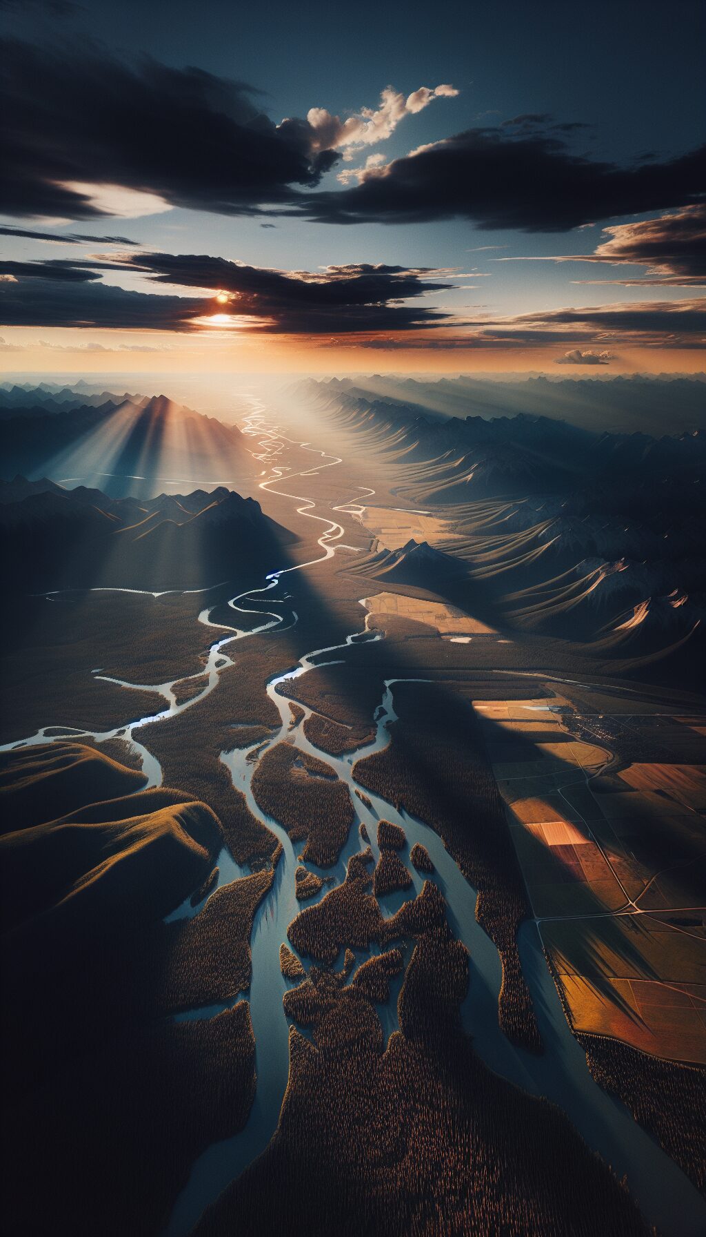
Stunning Aerial Views: Discover Our Portfolio
High-resolution images that highlight our expertise

Explore Our Drone Mapping Expertise
Access resources to understand drone imaging, applications, and innovations. Find insights, expert advice, and tools for decision-making.

Drone Imaging and Mapping Solutions
Stay current with the latest in drone technology and geospatial solutions.
Remote Sense: Precision Aerial Insights
Enhance your knowledge with our drone imaging resources for industry success.
Innovative Drone Imaging Solutions
Empower your projects with expert guides for precision drone mapping.
Contact Remote Sense Drone Imaging for superior aerial imaging solutions.
Gainesville, Florida
info@remotesense.com